
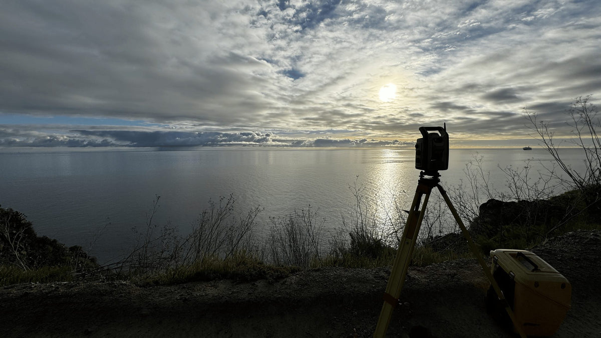
WE MEASURE
WHAT OTHERS
BUILD ON.
Everything in our world starts with the ownership of property lines. MLS establishes the positions of the property lines with precision. Providing the exact layout of the future location of your project.
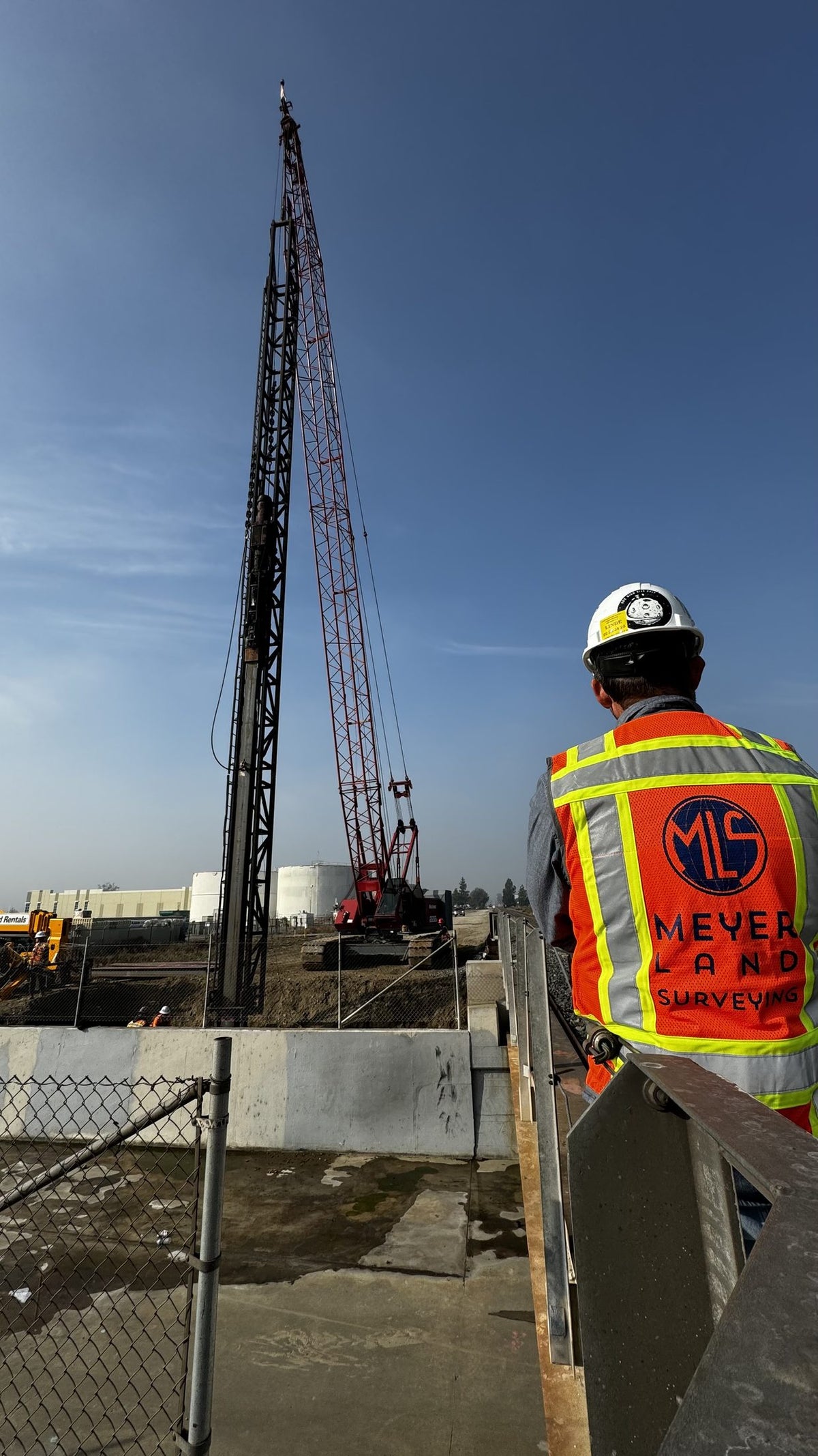
CONSTRUCTION
STAKING
We translate the engineer's design into precise marks on the ground — line, grade, offsets, and cut/fill — so crews build exactly what was drawn.
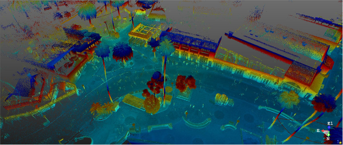
LiDAR
SCANNING
High-density LiDAR scanning captures millions of data points across a site and registers them into a precise 3D model for planning, design, verification, and project coordination.
One Field Crew. Every Discipline.
Land Surveying
Boundaries, ALTA/NSPS, construction staking, topographic & bathymetric.
View service 02GPR
Underground utility locating, subsurface mapping, data interpolation.
View service 03Drone
sUAS aerial surveys, quantity surveys, orthomosaic mapping.
View service 04LiDAR
3D imaging & modeling, terrestrial scanning, as-builts.
View service 05GIS
Interactive utility mapping, geodetic apps, data rendering.
View service- Ontario Ballpark — $250 million stadium
- Death Valley Salt Creek Boardwalk — National Park Service
- City Surveyor — Avalon, Catalina Island
- County Surveyor — Inyo County
- Bullis Substation — Southern California Edison
- AMES Construction
- Metropolitan Water District
Request a Custom Map
We create parcel maps, boundary exhibits, and county-data maps for any APN in California. Fill in your details and we will get back to you with a quote.
Let's establish your ground truth.
From a single boundary pin to a full city Record of Survey — tell us the site and the scope, and we'll bring the precision.