
Subdivision
Mapping
From tentative maps through final recordation, Meyer Land Surveying manages the full lifecycle of subdivision mapping for residential, commercial, and industrial developments. Our senior mapping team has decades of experience navigating city and county planning departments, the Subdivision Map Act, and title requirements.
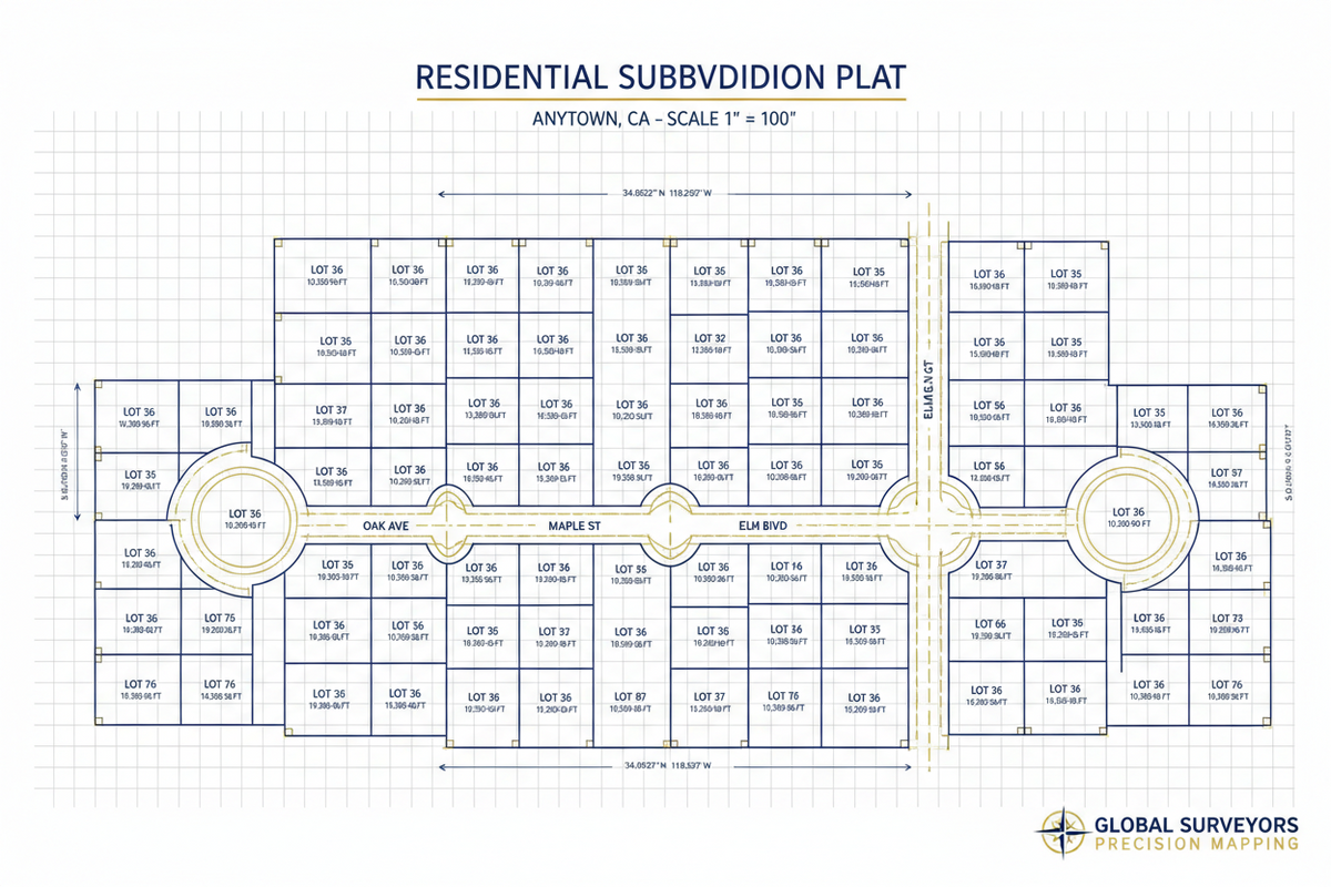
What is Subdivision Mapping?
From tentative maps through final recordation, Meyer Land Surveying manages the full lifecycle of subdivision mapping for residential, commercial, and industrial developments. Our senior mapping team has decades of experience navigating city and county planning departments, the Subdivision Map Act, and title requirements.
Meyer Land Surveying has delivered subdivision mapping services across Southern California since 2015, combining licensed expertise with state-of-the-art technology to produce precise, compliant, and timely results for every client.
How We Deliver Subdivision Mapping
Tentative Map
We prepare Tentative Tract or Parcel Maps in coordination with the project civil engineer, reflecting the proposed lot layout, access, and utility easements.
Agency Coordination
Our team liaises with city and county planning, engineering, and surveyor offices to address conditions of approval.
Final Map Preparation
Final Tract or Parcel Maps are drafted to exacting state and local standards, incorporating all required certificates, dedications, and easements.
Title & Closure
We work with the title company to ensure all boundary closures, ownership certificates, and encumbrance statements are accurate.
Recordation
The final map is submitted to the county recorder for official recordation.
Representative Projects
Vista Del Valle — Eight Tract Maps
Produced eight subdivision Tract Maps comprising over 600 homesites and connecting rights-of-way in Victorville, CA.
GJ Co., LLC — Parcel Map
Prepared a Tentative and Final Parcel Map combining 92 underlying parcels and portions of eight rights-of-way on an industrial site in Hesperia, CA.
Rancho Las Flores
Completed three Tract Maps, two ALTA/NSPS Surveys, a Certificate of Compliance, two Parcel Maps, and several Easement documents for a 150-acre development in Coachella.
Standard Deliverables
Request a Quote for Subdivision Mapping
Tell us about your project and we will respond within one business day with a detailed proposal tailored to your site and scope.